| Home > Maps > Walton County > 1845 Map | |
|
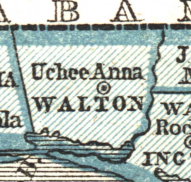
Walton
County as shown on Sidney E. Morse's 1845 A System of Geography for
the Use of Schools. Of interest, this map is the first school atlas
to make use of the cerographic process, also created by Morse. This process
allowed an original of the map to be drawn as a positive, unlike earlier
ways of creating maps, which required the original to be a negative image
of the map. It had significant impact on mapmaking and became a widely
used process.
|
|
Map Credit: Courtesy of the private collection of Roy Winkelman. |
| Home > Maps > Walton County > 1845 Map |
Exploring
Florida: A Social Studies Resource for Students and Teachers
Produced by the Florida Center for Instructional
Technology,
College of Education, University of South Florida © 2002.