| Home > Maps > Duval County > 1834 Map | |
|
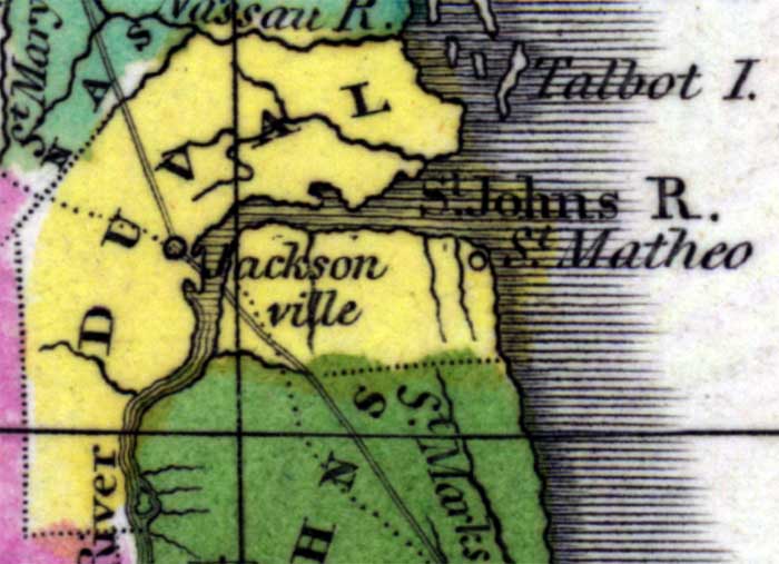
1834, Hand colored map of Florida published in 1834 with inserts of Mobile Bay, Perdido and Pensacola Bays, and Espirito Santo Bay (including Tampa and Hillsboro Bays).
|
| Map Credit: Courtesy of the Special Collections Department, University of South Florida. Digitization provided by the USF Libraries Digitization Center.
|
| Home > Maps > Duval County > 1834 Map |
Exploring Florida: A Social Studies Resource for Students and Teachers
Produced by the Florida Center for Instructional Technology,
College of Education, University of South Florida © 2003.