| Home > Maps > 1700s > Florida 1747 | |
|
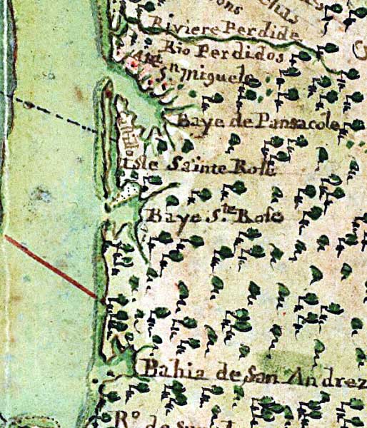
1747,
Carte general de toute la côte de la Louisianne jusqu'a la Baye St. Bernard, coste de la Floride, Baye de la Mobille, Be. de Pansacole, Baye de St. Ioseph, St. Marc des Apalaches. dans l'Amerique septentle., 1747 / A. Debatz, fecit.
|
|
Map Credit: Courtesy of the Library of Congress, Geography and Map Division.
|
Exploring
Florida: A Social Studies Resource for Students and Teachers
Produced by the Florida Center for Instructional
Technology,
College of Education, University of South Florida © 2002.