| Home > Maps > 1700s > Florida 1720 | |
|
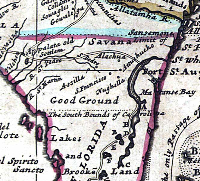
1720,
A new map of the north parts of America claimed by France under ye names
of Louisiana, Mississipi [i.e. Mississippi], Canada, and New France with
ye adjoining territories of England and Spain : to Thomas Bromsall, esq.,
this map of Louisiana, Mississipi [i.e. Mississippi] & c. is most
humbly dedicated, H. Moll, geographer / laid down according to the newest
and most exact observations by H. Moll, geographer.
|
|
Map Credit: Courtesy of the Library of Congress, Geography and Map Division.
|
Exploring
Florida: A Social Studies Resource for Students and Teachers
Produced by the Florida Center for Instructional
Technology,
College of Education, University of South Florida © 2002.