| Home
> Maps > 1700s >
Florida 1775 |
|
|
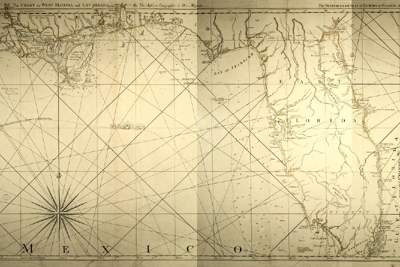
Detailed
view of the Thomas Jeffery's map of East and West Florida from 1775.
|
|
Map Credit: Courtesy of the Special Collections Department, University of South Florida. Digitization provided by the USF Libraries Digitization Center.
|
Exploring
Florida: A Social Studies Resource for Students and Teachers
Produced by the Florida Center for Instructional
Technology,
College of Education, University of South Florida © 2002.