| Home
> Maps > 1700s >
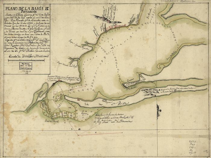
Bay of Pensacola 1782 |
|
|
Map
published in 1782 showing the Bay of Pensacola. The map includes sailing
directions for entering the bay and pictorials of forts, churches, and
Campbelltown.
|
|
Map Credit: Courtesy of the Library of Congress, Geography and Map Division.
|
| Home > Maps > 1700s > Bay of Pensacola 1782 |
Exploring
Florida: A Social Studies Resource for Students and Teachers
Produced by the Florida Center for Instructional
Technology,
College of Education, University of South Florida © 2002.