| Home > Maps > 1800s > Northern Florida, 1826 | |
|
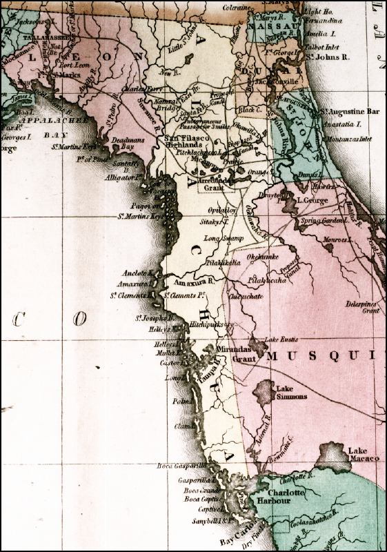
Detailed
view of northern Florida, including Leon, Alachua, Duval, and St. John
counties from Geographical, Statistical, and Historical Map of Florida,
1826.
|
|
Map Credit: Courtesy of the Special Collections Department, University of South Florida. Digitization provided by the USF Libraries Digitization Center.
|
| Home > Maps > 1800s > Northern Florida, 1826 |
Exploring
Florida: A Social Studies Resource for Students and Teachers
Produced by the Florida Center for Instructional
Technology,
College of Education, University of South Florida © 2002.