| Home > Maps > 1800s, II, III > Florida 1862 | |
|
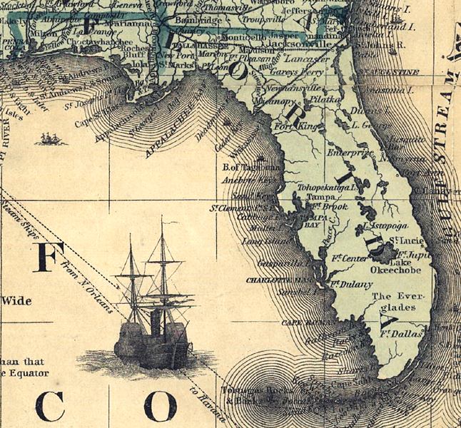
Detailed view of Florida from J.H. Colton's railroad and military map
of the U.S. drawn in 1862. The map shows drainage, international and state
boundaries, cities and towns, forts, railroads in operation, and proposed
lines.
|
|
Map Credit: Courtesy of the Library of Congress, Geography and Map Division.
|
| Home > Maps > 1800s, II, III > Florida 1862 |
Exploring
Florida: A Social Studies Resource for Students and Teachers
Produced by the Florida Center for Instructional
Technology,
College of Education, University of South Florida © 2002.