|
|
|
| FL Maps > County > Calhoun |
Click on a thumbnail image to view a full size version of that map.
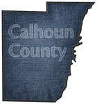
Calhoun County is Florida's 20th county, established on January 26, 1838, from a segment of Escambia County. It gains its name from John Caldwell Calhoun (1782 - 1850), a politician for many years of his life best known as a senator from South Carolina who strongly supported state's rights. Blountstown is the county seat. Blountstown was named after John Blount, a well known chief of a tribe of Native Americans that lived in this area.
For earlier maps of this area, visit the Escambia County map gallery.
|
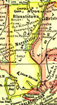
Calhoun County,
1921 |
|
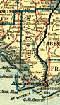
Calhoun County,
1921 |
|
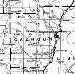
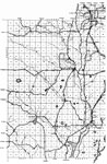
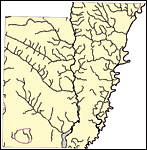
Calhoun County,
1932 |

|
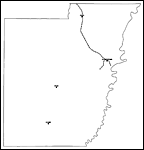
Calhoun,
1936 |
|
East Calhoun,
1936 |
|
West Calhoun,
1936 |
|
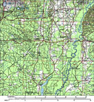
Calhoun County,
1988 |
|
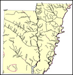
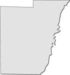
Florida Waterways: Calhoun County Outline,
2008 |
|
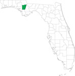
Locater Map of Calhoun County,
2008 |
|
Clipart Collection: Calhoun County Maps in 50 Colors,
2008 |
|
Plain Frames Collection: Calhoun County Maps in 30 Colors,
2008 |

|
Fancy Frames Collection: Calhoun County Maps in 30 styles,
2008 |

|
Florida Photo Collection: Calhoun County Maps in 30 styles,
2008 |
|
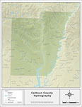
Florida Waterways: Calhoun County ,
2008 |
|
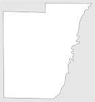
Florida Waterways: Calhoun County Outline without Labels,
2008 |

|
Calhoun "Abstract" Style Maps in 30 Styles,
2008 |
|
Calhoun County "Fun" Maps in 30 Styles,
2008 |
|
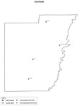
Calhoun County Cities with Labels,
2009 |
|
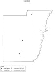
Calhoun County Cities Outline,
2009 |
|
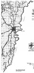
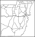
Calhoun County Road Network- Black and White,
2009 |
|
Calhoun County Railway Network- Black and White,
2009 |
|
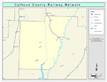
Calhoun County Railway Network- Color,
2009 |
|
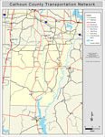
Calhoun County Road Network- Color,
2009 |
| First | Previous |
| FL Maps > County > Calhoun |
Maps ETC
is a part of the
Educational Technology Clearinghouse
Produced by the
Florida Center for Instructional Technology
© 2007
College of Education
,
University of South Florida