Maps Site map
  FL Maps > Local > Bradford
Site Map  

City and Local Maps for Bradford County

Click on a thumbnail image to view a full size version of that map.


  Record   1   to   13  of   13

Lawtey, 1918
This is a map of Lawtey in Bradford County, Florida courtesy of the Pennsylvania State University map library. It shows elevation, roads, railroads, inland waters and locations of dwellings and churches. Detail view from a United States Geological Su...

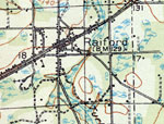
Raiford, 1918
This is a map of Raiford in Bradford County, Florida courtesy of the Pennsylvania State University map library. It shows elevation, roads, railroads, inland waters and locations of dwellings, churches and a school. Detail view from a United States Ge...

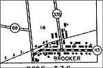
Brooker, 1936
This is a detailed map of the city Brooker in Bradford County, Florida. Section Township Range (STR) is shown. This map shows state roads, railroads, businesses, schools, a church, a post office, tenant houses, farm units and dwellings other than far...

Brooker 2, 1936
This is a detailed map of the city Brooker in Bradford County, Florida. Section Township Range (STR) is shown. This map shows state roads, inland waters, railroads, businesses, a cemetery, a church, tenant houses, farm units and dwellings other than ...

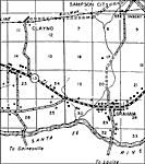
Graham, 1936
This is a detailed map of the city Graham in Bradford County, Florida. Section Township Range (STR) is shown. This map shows state roads, inland waters, railroads, businesses, turpentine stills, churches, post offices, schools, tenant houses, farm un...

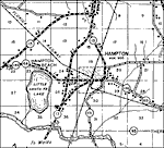
Hampton, 1936
This is a detailed map of the city Hampton in Bradford County, Florida. Section Township Range (STR) is shown. This map shows state roads, inland waters, railroads, businesses, forest ranger lookout station, churches, schools, tenant houses, farm uni...

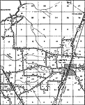
Lawtey, 1936
This is a detailed map of the city Lawtey in Bradford County, Florida. Section Township Range (STR) is shown. This map shows state roads, inland waters, railroads, businesses, forest ranger lookout station, cemeteries, churches, schools, tenant house...

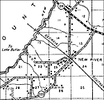
New River, 1936
This is a detailed map of the city New River in Bradford County, Florida. Section Township Range (STR) is shown. This map shows state roads, inland waters, railroads, a post office, schools, turpentine stills, farm units and dwellings other than farm...

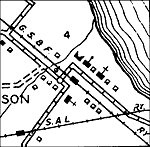
Sampson City, 1936
This is a detailed map of the city Sampson City in Bradford County, Florida. Section Township Range (STR) is shown. This map shows roads, inland waters, railroads, a post office, turpentine still, churches, farm units and dwellings other than farms. ...

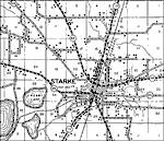
Starke, 1936
This is a detailed map of the city Starke in Bradford County, Florida. Section Township Range (STR) is shown. This map shows state roads, inland waters, railroads, churches, businesses, cemeteries, schools, emergency landing field, camps, tenant hous...

Theressa, 1936
This is a detailed map of the city Theressa in Bradford County, Florida. Section Township Range (STR) is shown. This map shows state roads, inland waters, railroads, churches, post offices, schools, businesses, farm units and dwellings other than far...

Hampton, 1949
This is a map of Hampton in Bradford County, Florida courtesy of the Pennsylvania State University map library. It shows elevation, roads, railroads, inland waters and locations of dwellings, churches and a cemetery. Detail view from a United States ...

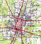
Starke, 1949
This is a map of Starke in Bradford County, Florida courtesy of the Pennsylvania State University map library. It shows elevation, roads, railroads, inland waters and locations of dwellings, churches, schools, businesses, an airport, a substation, ga...


  FL Maps > Local > Bradford
Site Map  

Maps ETC is a part of the Educational Technology Clearinghouse
Produced by the Florida Center for Instructional Technology © 2007
College of Education , University of South Florida