Maps Site map
  FL Maps > Local > Miami-Dade
Site Map  

City and Local Maps for Miami-Dade County

Click on a thumbnail image to view a full size version of that map.

  Record   1   to   10  of   10

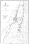
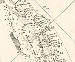
Detail - Preliminary chart of the northeastern part of the Gulf of Mexico, 1861
This detail of a map of the Gulf of Mexico showing the Biscayne Bay area with surrounding islands and bodies of water, including bays and rivers current to 1861. Many channels and rivers are depicted in the detail. The depths and soundings are noted ...

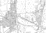
Miami Harbor and Approaches, 1921
A map of the entrance to Miami harbor. This East Coast Survey chart shows all soundings expressed in feet. Navigational aids such as lights, beacons, buoys, and measures of magnetic declination variances are shown. The map scale is 1:40,000. N.O.A.A....

Miami and Miami Beach, 1921
A map of Miami and Miami Beach. This East Coast Survey chart shows all soundings expressed in feet. Navigational aids such as lights, beacons, buoys, and measures of magnetic declination variances are shown. The map scale is 1:40,000. N.O.A.A. map re...

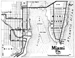
Miami, Florida, 1921
A map of Miami and Miami Beach. This map detail streets, beaches, and bathing beaches. There are also city institutions such as the Courthouse, the jail, and post office marked. In the middle of Biscayne Bay, there are a motor boat race course marked...

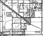
Miami, 1936
This is a detailed map of the city Miami in Dade County, Florida. Section Township Range (STR) is shown. This map shows state roads, railroads, surrounding towns, hotels, golf course, businesses, farm units and dwellings other than farms.

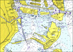
Miami, 1974
A National Oceanic and Atmospheric Administration map of Miami, current to 1974. This Department of Commerce chart shows all soundings expressed in feet at mean lower low water. Navigational aids such as lights, beacons and buoys are shown as well as...

Miami to Elliott Key, 1975
A National Oceanic and Atmospheric Administration map of the Intracoastal Waterway form Miami to Elliott Key, Florida current to1975. This Department of Commerce chart shows all soundings expressed in feet at mean lower low water. Navigational aids s...

Key Biscayne, 1975
A National Oceanic and Atmospheric Administration map of Key Biscayne, Florida current to1975. This Department of Commerce chart shows all soundings expressed in feet at mean lower low water. Navigational aids such as lights, beacons and buoys are sh...

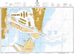
Port of Miami, 1975
A National Oceanic and Atmospheric Administration map of Port of Miami, Florida current to1975. This Department of Commerce chart shows all soundings expressed in feet at mean lower low water. Navigational aids such as lights, beacons and buoys are s...

Miami Harbor, 1983
A National Oceanic and Atmospheric Administration map of Miami Harbor current to 1983. This Department of Commerce chart shows all soundings expressed in feet at mean low water. Navigational aids such as lights, beacons, buoys and measures of magnet...


  FL Maps > Local > Miami-Dade
Site Map  

Maps ETC is a part of the Educational Technology Clearinghouse
Produced by the Florida Center for Instructional Technology © 2007
College of Education , University of South Florida