Maps Site map
  FL Maps > Local > Taylor
Site Map  

City and Local Maps for Taylor County

Click on a thumbnail image to view a full size version of that map.

  Record   1   to   17  of   17

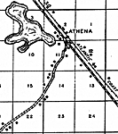
Athena, 1936
This is a detailed map of the city Athena in Taylor County, Florida. Section Township Range (STR) is shown. This map shows roads, railroads, tenant houses, farm units and dwellings other than farms. Key to Florida Highwa...

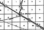
Blue Springs, 1936
This is a detailed map of the city Blue Springs in Taylor County, Florida. Section Township Range (STR) is shown. This map shows state roads, railroads, a school, tenant houses, a business, turpentine still, farm units and dwellings other than farms....

Boyd, 1936
This is a detailed map of the city Boyd in Taylor County, Florida. Section Township Range (STR) is shown. This map shows state roads, US highways, railroads, churches, cemeteries, schools, businesses, tenant houses, turpentine still, sawmill, farm un...

Clara, 1936
This is a detailed map of the city Clara in Taylor County, Florida. Section Township Range (STR) is shown. This map shows state roads, US highways, railroads, bridges, county lines, emergency landing field, sawmill, businesses, farm units and dwellin...

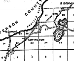
Covington, 1936
This is a detailed map of the city Covington in Taylor County, Florida. Section Township Range (STR) is shown. This map shows roads, a cemetery, a church, farm units and dwellings other than farms. Key to Florida Highway...

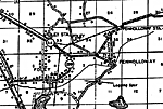
Foley, 1936
This is a detailed map of the city Foley in Taylor County, Florida. Section Township Range (STR) is shown. This map shows state roads, railroads, tenant houses, businesses, churches, post office, a school, a hotel, turpentine still, sawmills, farm un...

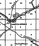
Hampton Springs, 1936
This is a detailed map of the city Hampton Springs in Taylor County, Florida. Section Township Range (STR) is shown. This map shows state roads, railroads, inland water, a church, a post office, a hotel, a business, farm units and dwellings other tha...

Iddo, 1936
This is a detailed map of the city Iddo in Taylor County, Florida. Section Township Range (STR) is shown. This map shows state roads, US highways, railroads, county lines, business dwellings, a church, a cemetery, a school, farm units and dwellings o...

Keatons Beach, 1936
This is a detailed map of the city Keatons Beach in Taylor County, Florida. Section Township Range (STR) is shown. This map shows state roads, inland water, ocean, other cities and towns such as Adams Beach, a camp, a business, farm units and dwellin...

Perry, 1936
This is a detailed map of the city Perry in Taylor County, Florida. Section Township Range (STR) is shown. This map shows state roads, railroads, county seat, churches, cemeteries, businesses, tenant houses, camps, sawmills, farm units and dwellings ...

Pineland, 1936
This is a detailed map of the city Pineland in Taylor County, Florida. Section Township Range (STR) is shown. This map shows state roads, US highways, railroads, inland water, churches, cemeteries, tenant houses, farm units and dwellings other than f...

Salem, 1936
This is a detailed map of the city Salem in Taylor County, Florida. Section Township Range (STR) is shown. This map shows roads, railroads, inland water, schools, businesses, a post office, a cemetery, tenant houses, farm units and dwellings other th...

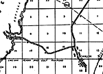
Scanlon, 1936
This is a detailed map of the city Scanlon in Taylor County, Florida. Section Township Range (STR) is shown. This map shows state roads, railroads such as the Perry and Gulf Railroad, bridges, inland water such as the Aucilla River, a post office, fa...

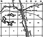
Shady Grove, 1936
This is a detailed map of the city Shady Grove in Taylor County, Florida. Section Township Range (STR) is shown. This map shows state roads, railroads, inland water, county lines, tenant houses, a school, a business, farm units and dwellings other th...

Stephensville, 1936
This is a detailed map of the city Stephensville in Taylor County, Florida. Section Township Range (STR) is shown. This map shows state roads, inland water, a church, the Jena post office, businesses, business dwellings, a school, farm units and dwel...

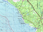
Steinhatchee, 1978
A portion of Gainesville Geological Survey and National Ocean Service map showing the Steinhatchee area current to 1978. The map shows State, primary and secondary roads, railroad lines and airports. Natural features include lakes, rivers and swamps....

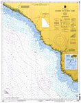
Horseshoe Point to Rock Islands, 1997
A National Oceanic and Atmospheric Administration map of the Florida Gulf Coast from Horseshoe Point to the Rock Islands. This Gulf Coast Survey chart shows all soundings expressed in feet. Navigational aids such as safety fairways, visual markers su...


  FL Maps > Local > Taylor
Site Map  

Maps ETC is a part of the Educational Technology Clearinghouse
Produced by the Florida Center for Instructional Technology © 2007
College of Education , University of South Florida