|
|
|
| FL Maps > Local > Dixie |
Click on a thumbnail image to view a full size version of that map.
|
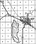
Cross City,
1936 |
|
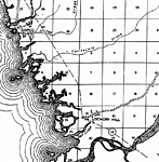
Demory Hill,
1936 |
|
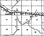
Eugene,
1936 |
|
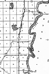
Fletcher,
1936 |
|
Hines,
1936 |
|
Jena,
1936 |
|
Old Town,
1936 |
|
Shelton,
1936 |
|
Horseshoe Point,
1978 |
| FL Maps > Local > Dixie |
Maps ETC
is a part of the
Educational Technology Clearinghouse
Produced by the
Florida Center for Instructional Technology
© 2007
College of Education
,
University of South Florida