|
|
|
| FL Maps > Local > Hernando |
Click on a thumbnail image to view a full size version of that map.
|
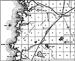
Aripeka,
1936 |
|
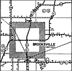
Brooksville,
1936 |
|
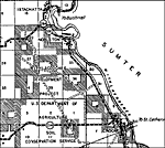
Croom,
1936 |
|
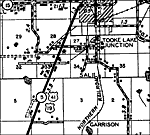
Garrison,
1936 |
|
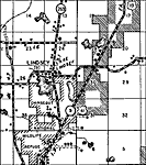
Lindsey,
1936 |
|
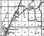
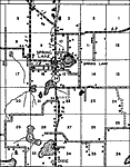
Powell,
1936 |
|
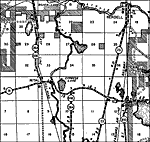
Rital,
1936 |
|
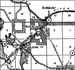
Riverland,
1936 |
|
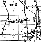
Spring Hill,
1936 |
|
Spring Lake,
1936 |
|
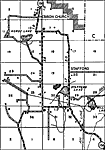
Stafford,
1936 |
| FL Maps > Local > Hernando |
Maps ETC
is a part of the
Educational Technology Clearinghouse
Produced by the
Florida Center for Instructional Technology
© 2007
College of Education
,
University of South Florida