|
|
|
| FL Maps > Local > Polk |
Click on a thumbnail image to view a full size version of that map.
|
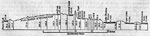
Section of the Lake Buffum Summit Level,
1884 |
|
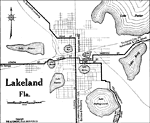
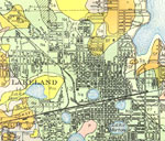
Lakeland Florida,
1919 |
|
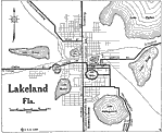
Lakeland Florida,
1922 |
|
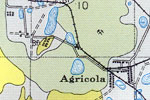
Agricola, Florida,
1927 |
|
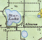
Alturas, Florida,
1927 |
|
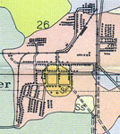
Auburndale, Florida,
1927 |
|
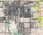
Bartow, Florida.,
1927 |
|
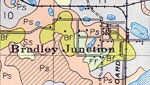
Bradley Junction, Florida.,
1927 |
|
Brewster, Florida.,
1927 |
|
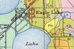
Eagle Lake, Florida,
1927 |
|
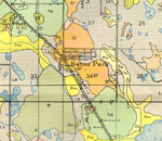
Eaton Park, Florida,
1927 |
|
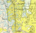
Flanders, Florida,
1927 |
|
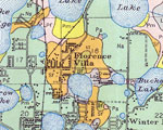
Florence Villa, Florida,
1927 |
|
Fort Mead, Florida,
1927 |
|
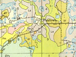
Foxtown, Florida,
1927 |
|
Gibsonia, Florida,
1927 |
|
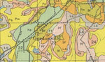
Gordonville, Florida,
1927 |
|
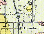
Homeland, Florida,
1927 |
|
Inwood, Florida,
1927 |
|
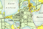
Lake Alfred, Florida,
1927 |
|
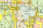
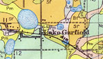
Lake Garfield, Florida,
1927 |
|
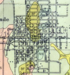
Lakeland North, Florida,
1927 |
|
Lakeland South, Florida,
1927 |
|
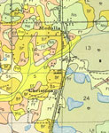
Medula and Christina, Florida,
1927 |
|
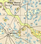
Millard and Briar Berry School, Florida,
1927 |
| Next | Last |
| FL Maps > Local > Polk |
Maps ETC
is a part of the
Educational Technology Clearinghouse
Produced by the
Florida Center for Instructional Technology
© 2007
College of Education
,
University of South Florida