|
|
|
| FL Maps > Local > Sarasota |
Click on a thumbnail image to view a full size version of that map.
|
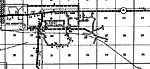
Bee Ridge Insert,
1936 |
|
Bee Ridge,
1936 |
|
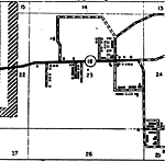
East Sarasota (town),
1936 |
|
East Sarasota (town) Insert,
1936
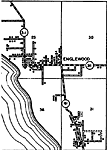
Englewood Insert,
1936 |
|
Englewood,
1936 |
|
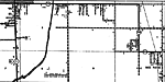
Laurel Insert,
1936 |
|
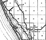
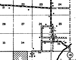
Miakka,
1936 |
|
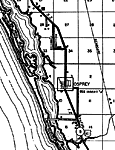
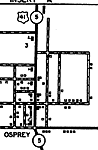
Osprey Insert,
1936
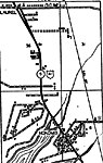
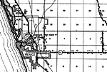
Osprey,
1936 |
|
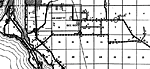
Venice,
1936 |
| FL Maps > Local > Sarasota |
Maps ETC
is a part of the
Educational Technology Clearinghouse
Produced by the
Florida Center for Instructional Technology
© 2007
College of Education
,
University of South Florida