Maps Site map
  FL Maps > Region > 1900-1919
Site Map  

  Record   1   to   4  of   4

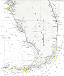
Straits of Florida and Approaches, 1908
A portion of the United States Department of Commerce and Labor map of the Straits of Florida current to 1908. This Coast and Geodetic Survey chart shows all soundings expressed in fathoms and heights in feet. Navigational aids such as the direction ...

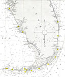
Straits of Florida, 1908
A United States Department of Commerce and Labor map of the Straits of Florida current to 1908. This Coast and Geodetic Survey chart shows all soundings expressed in fathoms and heights in feet. Navigational aids such as the direction and velocity of...

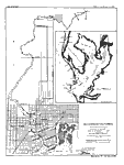
Hillsboro River, Florida, 1910
Digitization provided by the USF Libraries Digitization Center. Rare Maps. This is a map of the Hillsboro or Hillsborough River, circa 1910. The soundings are explained under the title. It shows an overview and detail map of the river. It shows citie...

Florida, Everglades Drainage, 1918
A map of southern peninsular Florida showing the Okeechobee/Everglades drainage canals current to 1918 and including the proposed West Palm Beach canal. Map scale is 1 inch equals 39 statute miles....


  FL Maps > Region > 1900-1919
Site Map  

Maps ETC is a part of the Educational Technology Clearinghouse
Produced by the Florida Center for Instructional Technology © 2007
College of Education , University of South Florida