|
|
|
| FL Maps > County > Bay |
Click on a thumbnail image to view a full size version of that map.
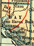
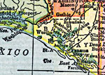
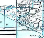
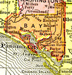
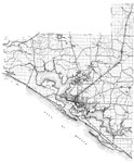
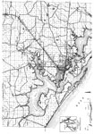
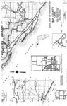
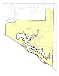
Bay County is Florida's 49th county, established on April 24, 1913, from a segment of Washington County. It gains its name from Saint Andrews Bay, a body of water bordering the county. Panama City is the county seat. Panama was a shipbuilding and industrial center during World War II that was named after Panama City.
For earlier maps of this area, visit the Washington County map gallery.
|
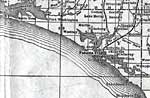
Bay County,
1914 |
|
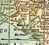
Bay County,
1916 |
|
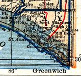
Bay County,
1917 |
|
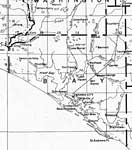
Bay County,
1917 |
|
Bay County,
1920 |
|
Bay County,
1920 |
|
Bay County,
1921 |
|
Bay County,
1932 |
|
Bay,
1936 |
|
North Bay,
1936 |
|
Mid Bay,
1936 |
|
South Bay,
1936 |
|
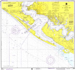
St. Andrew Bay,
1976 |
|
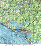
Bay County,
1988 |
|
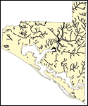
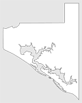
Florida Waterways: Bay County Outline,
2008 |
|
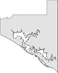
Florida Waterways: Bay County Outline without Labels,
2008 |
|
Bay EPA Superfund Sites,
2008 |
|
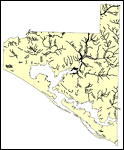
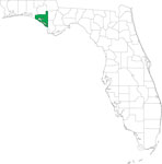
Locater Map of Bay County,
2008 |
|
Clipart Collection: Bay County Maps in 50 Colors,
2008 |
|
Plain Frames Collection: Bay County Maps in 30 Colors,
2008 |
|
Fancy Frames Collection: Bay County Maps in 30 styles,
2008 |

|
Florida Photo Collection: Bay County Maps in 30 styles,
2008 |
|
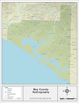
Florida Waterways: Bay County ,
2008 |
|
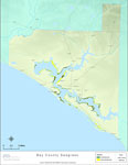
Florida Seagrass: Bay,
2008 |

|
Bay "Abstract" Style Maps in 30 Styles,
2008 |
| Next | Last |
| FL Maps > County > Bay |
Maps ETC
is a part of the
Educational Technology Clearinghouse
Produced by the
Florida Center for Instructional Technology
© 2007
College of Education
,
University of South Florida