Maps Site map
  FL Maps > Local > Bay
Site Map  

City and Local Maps for Bay County

Click on a thumbnail image to view a full size version of that map.

  Record   26   to   50  of   96

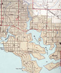
Panama City West of Harrison Ave., 1943
This is a map of Panama City west of Harrison in Bay County, Florida courtesy of the Pennsylvania State University map library. It shows elevation, railroads, roads, US highway, Gulf of Mexico, inland waters and locations of dwellings, churches, a sc...

Panama City East of Harrison Ave., 1943
This is a map of Panama City east of Harrison in Bay County, Florida courtesy the Pennsylvania State University map library. It shows elevation, railroads, roads, US highway, inland waters and locations of dwellings, churches, schools, and city hall....

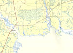
West Bay, Florida, 1944
A portion of the West Bay Quadrangle showing details of the area around West Bay, Florida. The map shows man made structures such as State routes, primary and secondary roads, and the Intracoastal Waterway, as well as the locations of survey bench m...

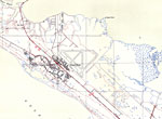
Tyndall Field, Florida, 1944
A portion of the Long Point Quadrangle showing details of the area around Tyndall Field, Florida. The map shows man-made structures such as State routes, primary and secondary roads, the Tyndall Airfield and military housing, as well as the location...

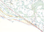
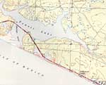
Davis Beach, Florida, 1944
A portion of the Beacon Hill Quadrangle showing details of the area around Davis Beach, Florida. The map shows man-made structures such as State routes, primary and secondary roads, railroads, as well as the locations of survey bench markers. Natura...

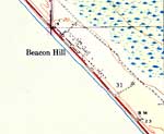
Beacon Hill, Florida, 1944
A portion of the Beacon Hill Quadrangle showing details of the area around Beacon Hill, Florida. The map shows man-made structures such as State routes, primary and secondary roads, and residences, as well as the locations of survey bench markers. N...

Hollywood Beach, Florida, 1944
A portion of the Seminole Hills Quadrangle showing details of the area around Hollywood Beach, Florida. The map shows man-made structures such as State routes, primary and secondary roads, and residences, as well as the locations of survey bench mar...

Laird, Florida, 1944
A portion of the Seminole Hills Quadrangle showing details of the area around Laird, Florida. The map shows man-made structures such as secondary roads, the intracoastal waterway, and residences, as well as the locations of survey bench markers. Nat...

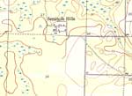
Seminole Hills, Florida, 1944
A portion of the Seminole Hills Quadrangle showing details of the area around Seminole Hills, Florida. The map shows man-made structures such as primary, secondary roads, and residences, as well as the locations of survey bench markers. Natural feat...

Vicksburg, Florida, 1944
A portion of the Southport Quadrangle showing details of the area around Vicksburg, Florida. The map shows man-made structures such as primary and secondary roads, the Vicksburg Fire Tower, and residences, as well as the locations of survey bench ma...

Southport, Florida, 1944
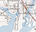
A portion of the Southport Quadrangle showing details of the area around Southport, Florida. The map shows man-made structures such as State, primary, and secondary roads, residences, as well as the locations of survey bench markers. Natural feature...

Lyn Haven, Florida, 1944
A portion of the Southport Quadrangle showing details of the area around Lynn Haven, Florida. The map shows man-made structures such as State, primary, and secondary roads, bridges and residences, as well as the locations of survey bench markers. Na...

Southport, 1944
This is a map of Southport in Bay County, Florida courtesy of the Pennsylvania State University map library. It shows elevation, roads, inland waters and locations of dwellings, a church and a school. Detail view from a United States Geological Surve...

Springfield and Bay Harbor, Florida, 1945
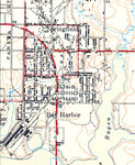
A portion of the Parker Quadrangle showing details of Springfield and Bay Harbor, Florida. The map shows man made structures such as State, primary, and secondary roads, railroad routes and the train depot, as well as various buildings including res...

Parker, Florida, 1945
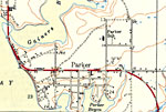
A portion of the Parker Quadrangle showing details of the town of Parker, Florida. The map shows man made structures such as State, primary, and secondary roads, as well as various buildings including residences, churches, schools, et cetera. Natura...

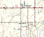
Callaway, Florida, 1945
A portion of the Parker Quadrangle showing details of Callaway, Florida. The map shows man made structures such as State, primary, and secondary roads, as well as various buildings including residences, churches, schools, et cetera. Natural features...

College Station, Florida, 1945
A portion of the Parker Quadrangle showing details of College Station, Florida. The map shows man made structures such as State, primary, and secondary roads, as well as various buildings including residences, churches, schools, et cetera. Natural f...

Pitts Island, Florida, 1945
A portion of the Allanton Quadrangle showing details of the area around Pitts Island, Florida. The map shows man made structures such as primary, and secondary roads, as well as the Majette fire tower, the Kent cemetery and the locations of survey b...

Cooks Bayou, Florida, 1945
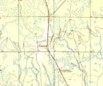
A portion of the Allanton Quadrangle showing details of the area around Cooks Bayou, Florida. The map shows man made structures such as primary and secondary roads, as well as the locations of survey bench markers. Natural features include rivers, b...

Bayou George, Florida, 1945
A portion of the Bayhead Quadrangle showing details of the area around George Bayou, Florida. The map shows man-made structures such as State routes, primary and secondary roads, railroads, as well as the locations of survey bench markers. Natural f...

Youngstown, Florida, 1945
A portion of the Youngstown Quadrangle showing details of the area around Youngstown, Florida. The map shows man-made structures such as State routes, primary and secondary roads, railroads, as well as the locations of survey bench markers. Natural ...

Nixon and Cairo, Florida, 1945
A portion of the Youngstown Quadrangle showing details of the area around Nixon and Cairo, Florida. The map shows man-made structures such as State routes, primary and secondary roads, railroads, as well as the locations of survey bench markers. Nat...

Sandy Creek, Florida, 1945
A portion of the Allanton Quadrangle showing details of the area around Sandy Creek, Florida. The map shows man-made structures such as primary and secondary roads, and the locations of survey bench markers. Natural features include rivers and wetla...

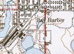
Bay Harbor, 1945
This is a map of Bay Harbor in Bay County, Florida courtesy of the Pennsylvania State University map library. It shows elevation, roads, railroads, inland waters and locations of dwellings and a church. Detail view from a United States Geological Sur...

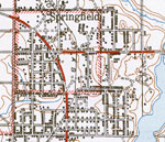
Springfield, 1945
This is a map of Springfield in Bay County, Florida courtesy of the Pennsylvania State University map library. It shows elevation, roads, inland waters and locations of dwellings, churches and a school. Detail view from a United States Geological Sur...

First Previous Next Last


  FL Maps > Local > Bay
Site Map  

Maps ETC is a part of the Educational Technology Clearinghouse
Produced by the Florida Center for Instructional Technology © 2007
College of Education , University of South Florida