|
|
|
| FL Maps > Local > Calhoun |
Click on a thumbnail image to view a full size version of that map.
|
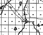
Altha,
1936
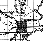
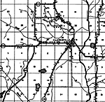
Blountstown,
1936 |
|
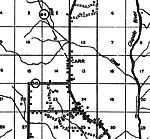
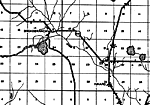
Carr,
1936 |
|
Chason,
1936 |
|
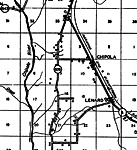
Chipola,
1936 |
|
Clarksville,
1936 |
|
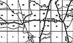
Frink,
1936 |
|
Kinard,
1936
Kinard 2,
1936 |
|
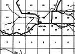
Melvin,
1936 |
|
Myron,
1936 |
|
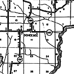
Ocheesee,
1936 |
|
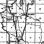
Selman,
1936 |
|
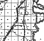
Sharpstown,
1936
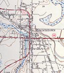
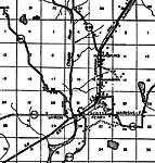
Blountstown,
1945 |
|
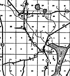
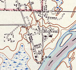
McNeal,
1945 |
| FL Maps > Local > Calhoun |
Maps ETC
is a part of the
Educational Technology Clearinghouse
Produced by the
Florida Center for Instructional Technology
© 2007
College of Education
,
University of South Florida