Maps Site map
  FL Maps > Local > Escambia
Site Map  

City and Local Maps for Escambia County

Click on a thumbnail image to view a full size version of that map.

  Record   26   to   50  of   51

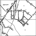
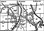
Century 2, 1936
This is a detailed map of the city Century in Escambia County, Florida. Section Township Range (STR) is shown. This map shows state roads, Seminole Indian village, churches, cemeteries, schools, factories, businesses, tourist camps, farm units and dw...

Century 3, 1936
This is a detailed map of the city Century in Escambia County, Florida. Section Township Range (STR) is shown. This map shows state roads, railroads, townhall, churches, hospital, cemeteries, saw mill, schools, post offices, businesses, tourist camp,...

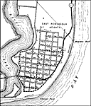
East Pensacola, 1936
This is a detailed map of the city East Pensacola in Escambia County, Florida. Section Township Range (STR) is shown. This map shows roads, railroads, churches, schools, businesses, tourist camp, farm units and dwellings other than farms.

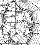
Ferry Pass, 1936
This is a detailed map of the city Ferry Pass in Escambia County, Florida. Section Township Range (STR) is shown. This map shows state roads, railroads, churches, schools, businesses, tourist camp, post offices, cemeteries, tenant houses, factories, ...

Ferry Pass 2, 1936
This is a detailed map of the city Ferry Pass in Escambia County, Florida. Section Township Range (STR) is shown. This map shows state roads, railroads, churches, schools, businesses, tourist camp, post offices, cemeteries, tenant houses, factories, ...

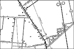
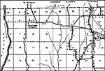
Golding, 1936
This is a detailed map of the city Golding in Escambia County, Florida. Section Township Range (STR) is shown. This map shows US highways, roads, railroads, churches, schools, hospitals, businesses, tourist camps, correctional institution, farm units...

Gonzalez, 1936
This is a detailed map of the city Gonzalez in Escambia County, Florida. Section Township Range (STR) is shown. This map shows state roads, railroads, churches, schools, businesses, post offices, turpentine still, farm units and dwellings other than ...

Gulf Beach, 1936
This is a detailed map of the city Gulf Beach in Escambia County, Florida. Section Township Range (STR) is shown. This map shows state roads, seasonal dwellings, farm units and dwellings other than farms. Key to Florida ...

Millview, 1936
This is a detailed map of the city Millview in Escambia County, Florida. Section Township Range (STR) is shown. This map shows state roads, railroads, businesses, churches, schools, cemeteries, farm units and dwellings other than farms.

Molino, 1936
This is a detailed map of the city Molino in Escambia County, Florida. Section Township Range (STR) is shown. This map shows state roads, railroads, businesses, churches, schools, post offices, farm units and dwellings other than farms.

Myrtle Grove, 1936
This is a detailed map of the city Myrtle Grove in Escambia County, Florida. Section Township Range (STR) is shown. This map shows state roads, businesses, churches, schools, tourist camps, cemeteries, farm units and dwellings other than farms.

Nakomis School, 1936
This is a detailed map of the city Nakomis School in Escambia County, Florida. Section Township Range (STR) is shown. This map shows state roads, railroads, businesses, churches, schools, tourist camps, farm units and dwellings other than farms.

Oak Grove, 1936
This is a detailed map of the city Oak Grove in Escambia County, Florida. Section Township Range (STR) is shown. This map shows state roads, railroads, businesses, churches, tenant houses, cemeteries, turpentine stills, saw mills, tourist camps, farm...

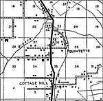
Quintette, 1936
This is a detailed map of the city Quintette in Escambia County, Florida. Section Township Range (STR) is shown. This map shows US highways, roads, railroads, businesses, churches, cemeteries, saw mills, farm units and dwellings other than farms.

Walnut Station and Walnut Hill, 1936
This is a detailed map of the cities Walnut Station and Walnut Hill in Escambia County, Florida. Section Township Range (STR) is shown. This map shows roads, tenant houses, businesses, churches, schools, turpentine stills, farm units and dwellings ot...

Warrington, 1936
This is a detailed map of the city Warrington in Escambia County, Florida. Section Township Range (STR) is shown. This map shows state roads, railroads, businesses, churches, schools, hotels, farm units and dwellings other than farms.

West Pensacola, 1936
This is a detailed map of the city West Pensacola in Escambia County, Florida. Section Township Range (STR) is shown. This map shows state roads, railroads, businesses, churches, tourist camps, factories, farm units and dwellings other than farms.

West Pensacola 2, 1936
This is a detailed map of the city West Pensacola in Escambia County, Florida. Section Township Range (STR) is shown. This map shows state roads, railroads, businesses, schools, tourist camps, factories, farm units and dwellings other than farms.

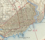
Pensacola, 1942
This is a map of Pensacola in Escambia County, Florida courtesy of the Pennsylvania State University map library. It shows elevation, roads, US highways, railroads, inland waters and locations of dwellings, schools, churches and more. Detail view fro...

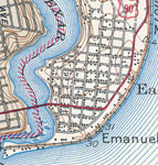
East Pensacola, 1942
This is a map of East Pensacola in Escambia County, Florida courtesy of the Pennsylvania State University map library. It shows elevation, roads, US highways, railroads, inland waters and locations of dwellings and a school. Detail view from a United...

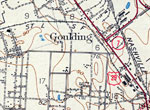
Goulding, 1942
This is a map of Goulding in Escambia County, Florida courtesy of the Pennsylvania State University map library. It shows elevation, roads, US highways, railroads, inland waters and locations of dwellings, churches, cemeteries and a school. Detail vi...

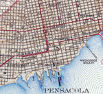
Pensacola Waterfront, 1942
This is a map of Pensacola waterfront in Escambia County, Florida courtesy of the Pennsylvania State University map library. It shows elevation, roads, railroads, inland waters and locations of dwellings, churches, schools, city hall and more. Detail...

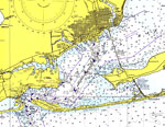
Pensacola and Pensacola Bay, 1975
A National Oceanic and Atmospheric Administration map of Pensacola and Pensacola Bay current to 1975. This National Ocean Survey chart shows all soundings expressed in feet. Navigational aids such as safety fairways, visual markers such as radio and ...

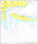
Pensacola Bay Entrance, 1976
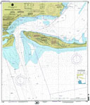
A National Oceanic and Atmospheric Administration map of the entrance to Pensacola Bay current to 1976. This National Ocean Survey chart shows all soundings expressed in feet. Navigational aids such as safety fairways, visual markers such as lights, ...

Pensacola Bay Entrance, 2000
A National Oceanic and Atmospheric Administration map of the entrance to Pensacola Bay current to 200. This National Ocean Survey chart shows all soundings expressed in feet. Navigational aids such as safety fairways, visual markers such as lights, b...

First Previous Next Last


  FL Maps > Local > Escambia
Site Map  

Maps ETC is a part of the Educational Technology Clearinghouse
Produced by the Florida Center for Instructional Technology © 2007
College of Education , University of South Florida