|
|
|
| FL Maps > Local > Putnam |
Click on a thumbnail image to view a full size version of that map.
|
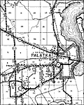
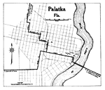
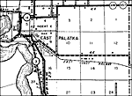
Palatka,
1915 |
|
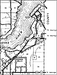
San Mateo,
1915 |
|
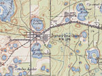
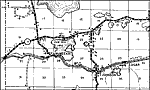
Interlachen,
1916 |
|
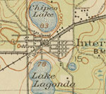
Interlachen Detail,
1916 |
|
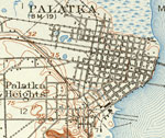
Palatka Florida,
1919 |
|
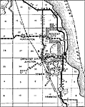
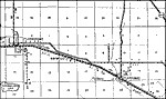
Crescent City,
1936 |
|
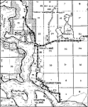
East Palatka,
1936 |
|
Edgar,
1936 |
|
Florahome,
1936 |
|
Fruitland,
1936 |
|
Grandin,
1936 |
|
Mannville,
1936
Palatka,
1936 |
|
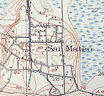
San Mateo,
1936 |
|
Satsuma,
1936
Orange Mills,
1936 |
| FL Maps > Local > Putnam |
Maps ETC
is a part of the
Educational Technology Clearinghouse
Produced by the
Florida Center for Instructional Technology
© 2007
College of Education
,
University of South Florida