|
|
|
| FL Maps > Local > Union |
Click on a thumbnail image to view a full size version of that map.
|
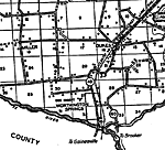
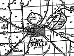
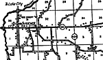
Lake Butler,
1936 |
|
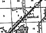
Danville,
1936
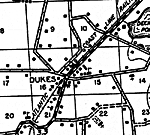
Dukes,
1936 |
|
Dukes 2,
1936 |
|
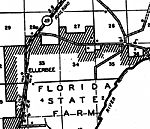
Ellerbee,
1936 |
|
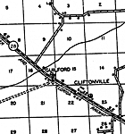
Guilford,
1936 |

|
Johnstown,
1936 |
|
Providence,
1936 |
|
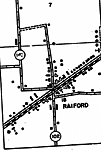
Raiford,
1936 |
|
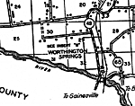
Worthington Springs,
1936 |
| FL Maps > Local > Union |
Maps ETC
is a part of the
Educational Technology Clearinghouse
Produced by the
Florida Center for Instructional Technology
© 2007
College of Education
,
University of South Florida