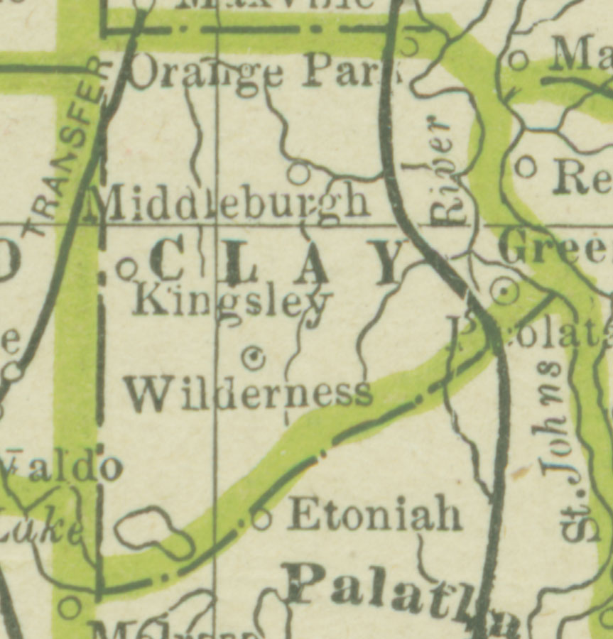
Description: A map of Clay County showing county lines, the county seat (Green Cove Springs), and railroads connecting the major cities current to 1886.
Place Names: Clay, Green Cove Springs, Orange Park, Middleburg, Kingsley, Wilderness
ISO Topic Categories: boundaries, inlandWaters, transportation
Keywords: Clay County, physical, political, transportation, physical features, county borders, railroads, boundaries, inlandWaters, transportation, Unknown,1886
Source: George F. Cram, (Chicago, IL: Geo. F. Cram, 1886) 63
Map Credit: Courtesy the private collection of Roy Winkelman |
|