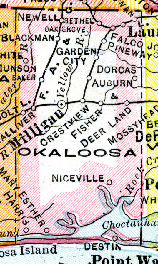
Description: A map of Okaloosa County showing county lines, the county seat (Milligan), and railroads connecting the major cities current to 1921.
Place Names: Okaloosa, Baker, Blackman, Newell, Behel, Bethel, Falco, Laurel Hill, Pineway, Dorcus, Auburn, Crestview, Milligan, Fisher, Mary Esther, Destin
ISO Topic Categories: boundaries, inlandWaters, oceans, transportation
Keywords: Okaloosa County, physical, political, transportation, physical features, county borders, railroads, boundaries, inlandWaters, oceans, transportation, Unknown,1921
Source: George F. Cram, (Chicago, IL: George F. Cram Company, 1921) 46
Map Credit: Courtesy the private collection of Roy Winkelman. |
|