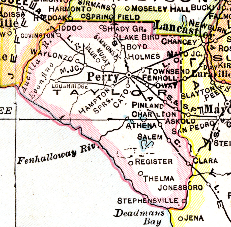
Description: A map of Taylor County showing county lines, the county seat (Perry), and railroads connecting the major cities current to 1921.
Place Names: Taylor, Shady Grove, Lake Bird, Perry, Fenholloway, Athena, Salem, Register , Thelma, Stephensville, Hampton Springs, Waylonzo, Iddo
ISO Topic Categories: boundaries, inlandWaters, oceans, transportation
Keywords: Taylor County, physical, political, transportation, physical features, county borders, railroads, boundaries, inlandWaters, oceans, transportation, Unknown,1921
Source: George F. Cram, (Chicago, IL: George F. Cram Company, 1921) 46
Map Credit: Courtesy the private collection of Roy Winkelman. |
|