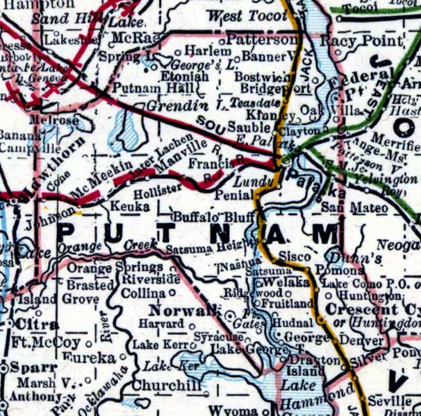
Description: This is a detail of a map of Florida showing counties, railroads, cities, inland waters, etc for Putnam County. Each color represents a different route. The origin and destination for each route is found on the main map in an Explanation key. Features of this detail include Etoniah, Hollister, and Palatka.
Place Names: Putnam, Harlem, Patterson, Bannerville, Francis, Hollister, Buffalo Bluff, Norwall, Etoniah, Keuka, Palatka,
ISO Topic Categories: inlandWaters, oceans, boundaries, transportation
Keywords: Putnam County, physical, historical, political, transportation, physical features, county borders, railroads, inlandWaters, oceans, boundaries, transportation, Unknown,1889
Source: Wm. M. Bradley and Bros., Bradley's atlas of the world for commercial and library reference (Philadelphia, PA: Wm. M. Bradley and Bros., 1889) 240-241
Map Credit: Courtesy of the Special Collections Department, University of South Florida. |
|