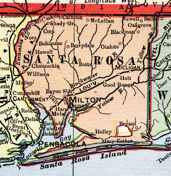
Description: This is a detail of a map of Florida, displaying county borders, county seats, and railroads current to 1902 for Santa Rosa County. Major and minor cities are shown, as well as major waterways. The features of the map include Berrydale, Santa Rosa Island, and Milton.
Place Names: Santa Rosa, Calhoun, Shady Grove, McCaskill, McLellan, Blackman, Oakgrove, Newell, Bethel, Otahite, Berrydale, Bohanans, Howell, Nora, Chumuckla, Williams, Nora, Escambia River, Blackwater, Milligan, Holt, Good Range, Yellow River, Holley, Bryant, Mary Esther, Santa Rosa Sound, Santa Rosa Island, Pensacola, Pensacola Bay, Harp, Mulat, Milton, Botts,
ISO Topic Categories: boundaries, oceans, inlandWaters, transportation
Keywords: Santa Rosa County, physical, political, transportation, physical features, county borders, railroads, boundaries, oceans, inlandWaters, transportation, Unknown,1902
Source: George Franklin Cram, Cram's Atlas (Chicago, Il: George F. Cram, 1902)
Map Credit: Courtesy the private collection of Roy Winkelman. |
|