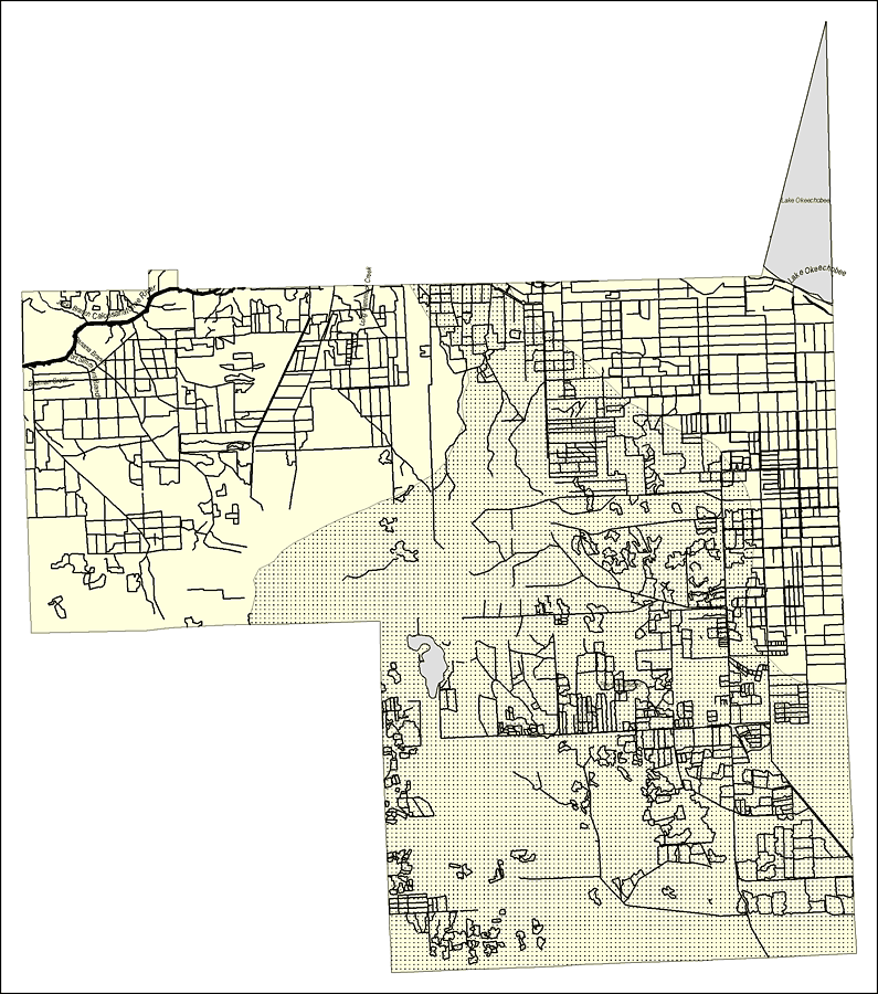
Description: This map was created by FCIT and shows the waterways of Hendry County. All major rivers, streams, creeks, lakes, and swamps are labeled. This map features Jacks Branch, the Caloosahatchee River, Banana Branch, Fort Simmons Branch, Bedman Creek, Long Hammock Creek, Lake Okeechobee, and the Everglades.
Place Names: Hendry, Jacks Branch, Caloosahatchee River, Banana Branch, Fort Simmons Branch, Bedman Creek, Long Hammock Creek, Lake Okeechobee, The Everglades
ISO Topic Categories: boundaries, inlandWaters
Keywords: Florida Waterways: Hendry County Outline, political, physical, kriversandstreams, physical features, county borders, photograph in shape of map, photo, Florida mapboundaries, inlandWaters, 2008
Source: Florida Center for Instructional Technology, (Tampa, FL: University of South Florida, 2008)
Map Credit: Courtesy of the Florida Center for Instructional Technology |
|