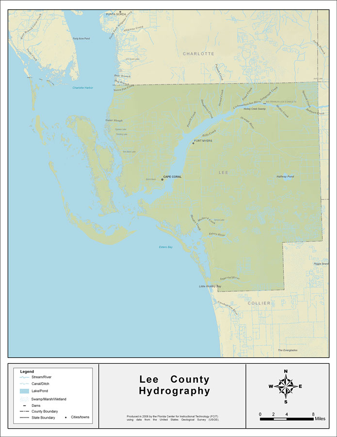
Description: This map was created by FCIT and shows the waterways of Lee County. All major rivers, streams, creeks, lakes, and swamps are labeled. This map features Spanish Creek, Bedman Creek, Cypress Creek, Hickey Creek, the Orange River, Billy Creek, Powell Creek, Daughtrey Creek, Stroud Creek, Trout Creek, Strickline Gully, Telegraph Creek, Yucca Pen Creek, Gator Slough, the Caloosahatchee River, Hendry Creek, Mullock Creek, Halfway Pond, Estero River, Halfway Creek, Leitner Creek, the Imperial River, Oak Creek, and Little Hickery Bay.
Place Names: Lee, Spanish Creek, Bedman Creek, Cypress Creek, Hickey Creek, Orange River, Billy Creek, Powell Creek, Daughtrey Creek, Stroud Creek, Trout Creek, Strickline Gully, Telegraph Creek, Yucca Pen Creek, Gator Slough, Caloosahatchee River, Hendry Creek, Mullock Creek, Halfway Pond, Estero River, Halfway Creek, Leitner Creek, Imperial River, Oak Creek, Little Hickery Bay, Fort Myers, Cape Coral
ISO Topic Categories: boundaries, inlandWaters
Keywords: Florida Waterways: Lee County , political, physical, kriversandstreams, physical features, county borders, photograph in shape of map, photo, Florida mapboundaries, inlandWaters, 2008
Source: Florida Center for Instructional Technology, (Tampa, FL: University of South Florida, 2008)
Map Credit: Courtesy of the Florida Center for Instructional Technology |
|
