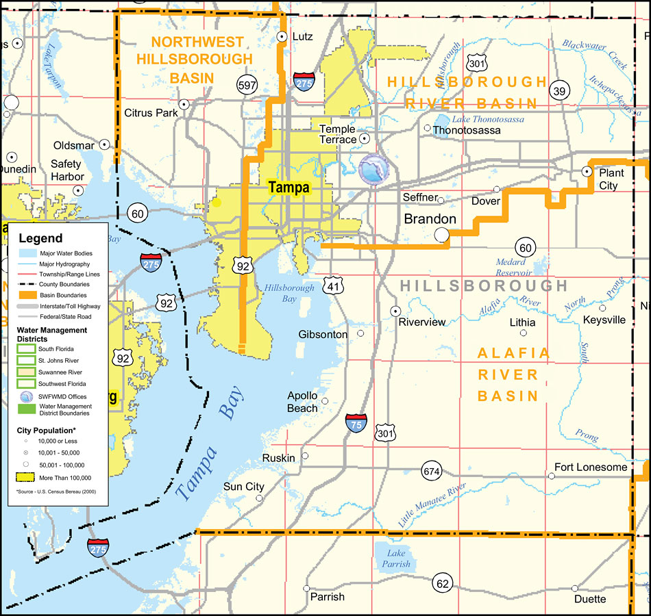
Description: This is a county detail map of Hernando County extracted from the Southwest Florida Watershed Management District or SWFWMD district map, created on September 28, 2004. This map shows major inland water, township/range lines (in pink), county boundaries, basin boundaries (orange), interstate roads, Federal/State roads, SWFWMD offices (shown with logo), and city population.
Place Names: Hillsborough, Tampa Bay, �Tampa, �Plant City, �Brandon, �Temple Terrace, �Thonotosassa, �Seffner, �Lithia, �Gibsonton, �Apollo Beach, �Ruskin, �Sun City, �Fort Lonesome, �Riverview, �Lutz, �Dover, �Hillsborough Bay, �Hillsborough River, �Hillsborough River Basin, �Northwest Hillsborough Basin, �Alafia River Basin, �Alafia River
ISO Topic Categories: boundaries, �inlandWaters, �transportation, �geoscientificInformation
Keywords: Southwest Florida Water Management District- Hillsborough County, physical, �political, �transportation, �hydrological, �watershed, �kwatershed, physical features, county borders, roads, boundaries, �inlandWaters, �transportation, �geoscientificInformation, Unknown,September 28, 2004
Source: Southwest Florida Water Management District Mapping and GIS Section, Southwest Florida Water Management District Map of Districts (Brooksville, FL: Southwest Florida Water Management District, September 28, 2004)
Map Credit: Courtesy of the Southwest Florida Water Management District |
|