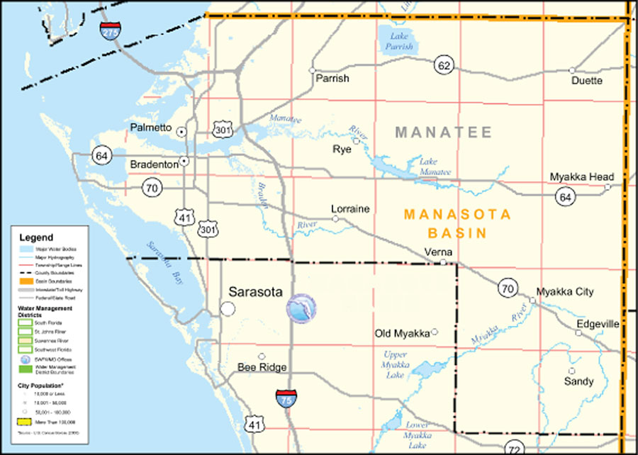
Description: This is a county detail map of Manatee County extracted from the Southwest Florida Watershed Management District or SWFWMD district map, created on September 28, 2004. This map shows major inland water, township/range lines (in pink), county boundaries, basin boundaries (orange), interstate roads, Federal/State roads, SWFWMD offices (shown with logo), and city population.
Place Names: Manatee, Manasota Basin, �Manatee River, �Myakka River, �Upper Myakka Lake, �Lower Myakka Lake, �Lorraine, �Parish, �Parrish, �Myakka City, �Palmetto, �Bradenton, �Sarasota, �Sarasota Bay, �Rye, �Verna, �Sandy, �Edgeville, �Duette, �Bee Ridge, �Old Myakka
ISO Topic Categories: boundaries, �inlandWaters, �transportation, �geoscientificInformation
Keywords: Southwest Florida Water Management District- Manatee County, physical, �political, �transportation, �hydrological, �watershed, �kwatershed, physical features, county borders, roads, boundaries, �inlandWaters, �transportation, �geoscientificInformation, Unknown,September 28, 2004
Source: Southwest Florida Water Management District Mapping and GIS Section, Southwest Florida Water Management District Map of Districts (Brooksville, FL: Southwest Florida Water Management District, September 28, 2004)
Map Credit: Courtesy of the Southwest Florida Water Management District |
|