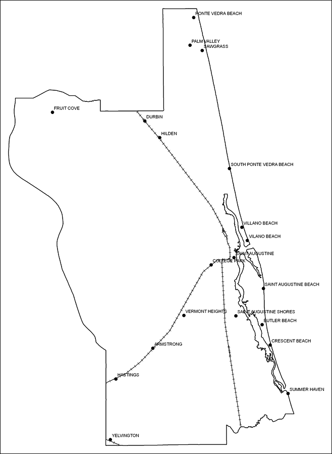
Description: This is a black and white railroad map of St. Johns county, 2009. It also shows location of cities and towns including St. Augustine and Ponte Vedra Beach.
Place Names: St. Johns, Ponte Vedra Beach, �St. Augustine, �Saint Augustine, �Palm Valley, �Sawgrass, �Fruit Cove, �Durbin, �Hilden, �South Ponte Vedra Beach, �Villano Beach, �Vilano Beach, �College Park, �Saint Augustine Beach, �St. Augustine Beach, �Saint Augstine Shores, �Crescent Beach, �Summer Haven, �Butler Beach, �Vermont Heights, �Armstrong, �Hastings, �Yelvington
ISO Topic Categories: boundaries, �transportation
Keywords: St. Johns County Railway Network- Black and White, physical, �transportation, �political, county borders, railroads, boundaries, �transportation, Albers_Conical_Equal,2009
Source: Florida Center for Instructional Technology, Exploring Florida: Social Studies Resources �for Students and Teachers (Tampa, FL: University of South Florida, 2009)
Map Credit: Courtesy of the Florida Center for Instructional Technology, Author: Samer Slaiby |
|