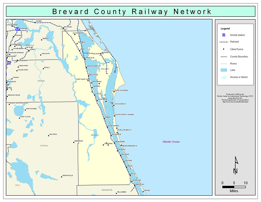
Description: This is a color railroad map of Brevard county, 2009. It also shows location of cities and towns including Melbroune and Cape Canaveral, inland water including rivers and lakes, and Amtrak stations.
Place Names: Brevard, Scottsmoor, �Shiloh, �Turnbull, �Mims, �Wilson, �Titusville, �Indian River City, �Indian River, �Bellwood, �Port Saint John, �Frontenac, �Courtenay, �Sharpes, �Cape Canaveral, �Cocoa Beach, �Merritt Island, �Angel City, �Rockledge, �Cocoa, �Satellite Beach, �Pineda, �Melbourne, �Eau Gallie, �Indialantic, �Palm Bay, �Malabar, �Grant, �Micco, �South Patrick Shores, �Canova Beach, �Palm Shores, �Melbourne Beach, �Melbourne Village, �June Park, �West Melbourne, �Valkaria
ISO Topic Categories: boundaries, �transportation, �inlandWaters
Keywords: Brevard County Railway Network- Color, physical, �transportation, �political, county borders, railroads, boundaries, �transportation, �inlandWaters, Albers_Conical_Equal,2009
Source: Florida Center for Instructional Technology, Exploring Florida: Social Studies Resources �for Students and Teachers (Tampa, FL: University of South Florida, 2009)
Map Credit: Courtesy of the Florida Center for Instructional Technology, Author: Samer Slaiby |
|