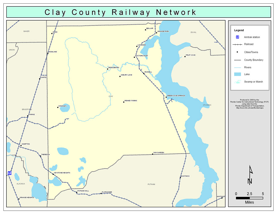
Description: This is a color railroad map of Clay county, 2009. It also shows location of cities and towns including Bellair and Green Cove Springs, inland water including rivers and lakes, and Amtrak stations.
Place Names: Clay, Bellair, �Orange Park, �Green Cove Springs, �Meadowbrook Terrace, �Lakeside, �Doctors Inlet, �Russell, �Penney Farms, �Middleburg, �Sun Garden, �Asbury Lake, �Kingsley, �Hugh, �Highland, �Keystone Heights
ISO Topic Categories: boundaries, �transportation, �inlandWaters
Keywords: Clay County Railway Network- Color, physical, �transportation, �political, county borders, railroads, boundaries, �transportation, �inlandWaters, Albers_Conical_Equal,2009
Source: Florida Center for Instructional Technology, Exploring Florida: Social Studies Resources �for Students and Teachers (Tampa, FL: University of South Florida, 2009)
Map Credit: Courtesy of the Florida Center for Instructional Technology, Author: Samer Slaiby |
|