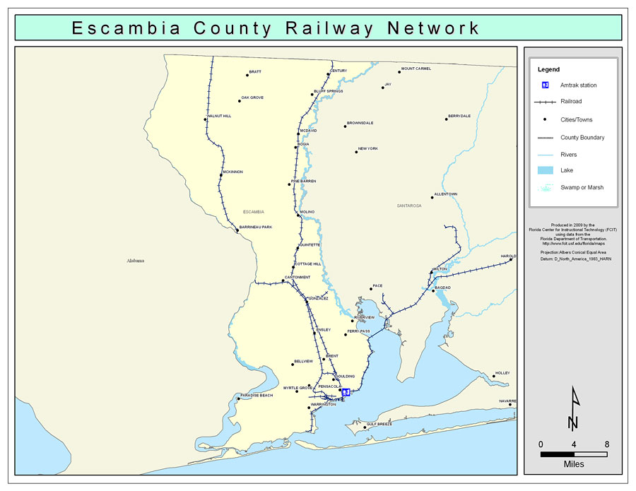
Description: This is a color railroad map of Escambia county, 2009. It also shows location of cities and towns including Pensacola and Century, inland water including rivers and lakes, and Amtrak stations.
Place Names: Escambia, Century, �Bluff Springs, �Bratt, �Oak Grove, �Walnut Hill, �McDavid, �Bogia, �Pine Barren, �Molino, �McKinnon, �Barrineau Park, �Cottage Hill, �Quintette, �Cantonment, �Gonzalez, �Riverview, �Ferry Pass, �Ensley, �Brent, �Bellview, �Pensacola, �Goulding, �West Pensacola, �Myrtle Grove, �Warrington, �Paradise Beach
ISO Topic Categories: boundaries, �transportation, �inlandWaters
Keywords: Escambia County Railway Network- Color, physical, �transportation, �political, county borders, railroads, boundaries, �transportation, �inlandWaters, Albers_Conical_Equal,2009
Source: Florida Center for Instructional Technology, Exploring Florida: Social Studies Resources �for Students and Teachers (Tampa, FL: University of South Florida, 2009)
Map Credit: Courtesy of the Florida Center for Instructional Technology, Author: Samer Slaiby |
|