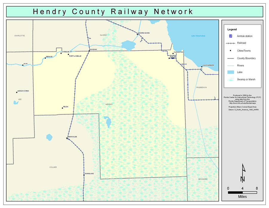
Description: This is a color railroad map of Hendry county, 2009. It also shows location of cities and towns including Clewiston and La Belle, inland water including rivers and lakes, and Amtrak stations.
Place Names: Hendry, La Belle, �Denaud, �Felda, �Clewiston, �Harlem, �Port La Belle
ISO Topic Categories: boundaries, �transportation, �inlandWaters
Keywords: Hendry County Railway Network- Color, physical, �transportation, �political, county borders, railroads, boundaries, �transportation, �inlandWaters, Albers_Conical_Equal,2009
Source: Florida Center for Instructional Technology, Exploring Florida: Social Studies Resources �for Students and Teachers (Tampa, FL: University of South Florida, 2009)
Map Credit: Courtesy of the Florida Center for Instructional Technology, Author: Samer Slaiby |
|