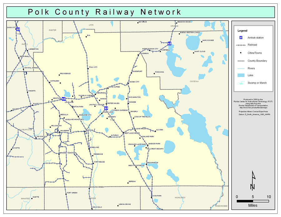
Description: This is a color railroad map of Polk county, 2009. It also shows location of cities and towns including Lakeland and Frostproof, inland water including rivers and lakes, and Amtrak stations.
Place Names: Polk, Davenport, �Providence, �Bartow, �Eva, �Loughman, �Davenport, �Haines City, �Lake Alfred, �Lake Hamilton, �Dundee, �Gibsonia, �Auburndale, �Winter Haven, �Inwood, �Alcoma, �Eaton Park, �Mulberry, �Homeland, �Frostproof, �Fort Meade, �Polk City, �Lakeland, �Lake Wales
ISO Topic Categories: boundaries, �transportation, �inlandWaters
Keywords: Polk County Railway Network- Color, physical, �transportation, �political, county borders, railroads, boundaries, �transportation, �inlandWaters, Albers_Conical_Equal,2009
Source: Florida Center for Instructional Technology, Exploring Florida: Social Studies Resources �for Students and Teachers (Tampa, FL: University of South Florida, 2009)
Map Credit: Courtesy of the Florida Center for Instructional Technology, Author: Samer Slaiby |
|