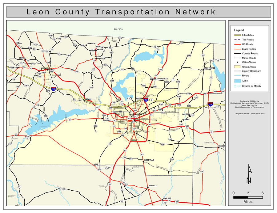
Description: This is a color road map of Leon county, 2009. It shows the location of many roads including US-27 and I-10, cities and towns, and inland water.
Place Names: Leon, Bradfordville, �Miccosukee, �Chaires, �Tallahassee, �Capitola, �Norfleet, �Woodville
ISO Topic Categories: boundaries, �transportation, �inlandWaters
Keywords: Leon County Road Network- Color, transportation, �political, �physical, �kroads, �kroadscolor, county borders, roads, boundaries, �transportation, �inlandWaters, Albers_Conical_Equal,2009
Source: Florida Center for Instructional Technology, Exploring Florida: Social Studies Resources �for Students and Teachers (Tampa, FL: University of South Florida, 2009)
Map Credit: Courtesy of the Florida Center for Instructional Technology, Author: Samer Slaiby |
|