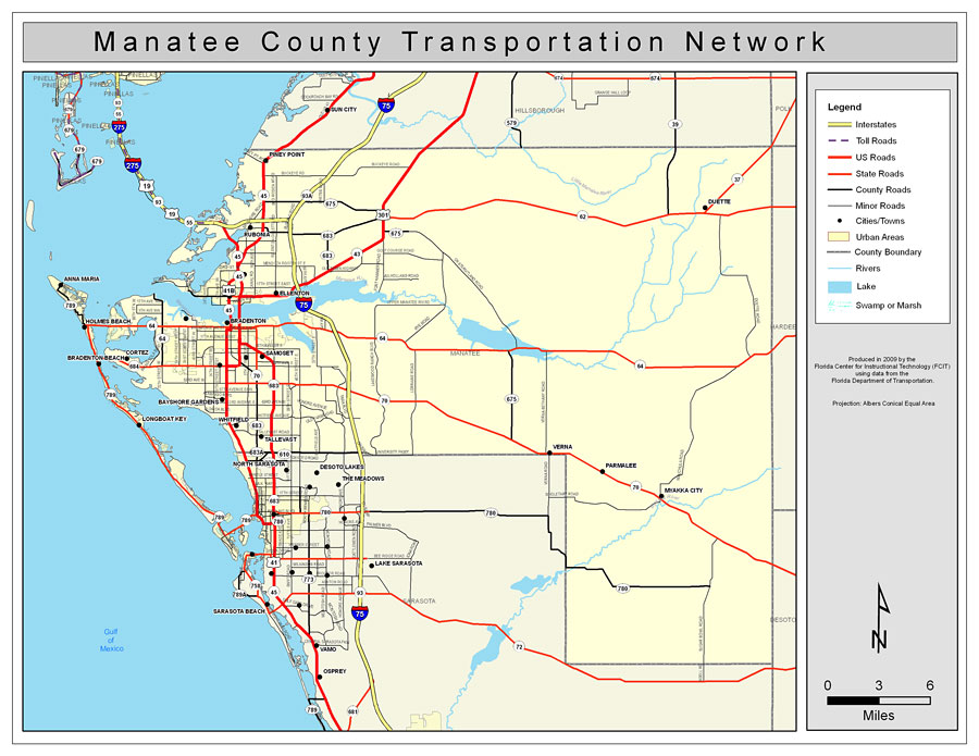
Description: This is a color road map of Manatee county, 2009. It shows the location of many roads including US-41 and I-75, cities and towns, and inland water.
Place Names: Manatee, Ellenton, �Bradenton, �Anna Maria, �Holmes Beach, �Cortez, �Longboat Key, �Myakka City, �Tallevast, �Bayshore Gardens, �Bradenton Beach, �Whitfield, �Verna, �Parmalee, �Duette, �Piney Point, �Rubonia, �Gulf of Mexico
ISO Topic Categories: boundaries, �transportation, �inlandWaters, �oceans
Keywords: Manatee County Road Network- Color, transportation, �political, �physical, �kroads, �kroadscolor, county borders, roads, boundaries, �transportation, �inlandWaters, �oceans, Albers_Conical_Equal,2009
Source: Florida Center for Instructional Technology, Exploring Florida: Social Studies Resources �for Students and Teachers (Tampa, FL: University of South Florida, 2009)
Map Credit: Courtesy of the Florida Center for Instructional Technology, Author: Samer Slaiby |
|