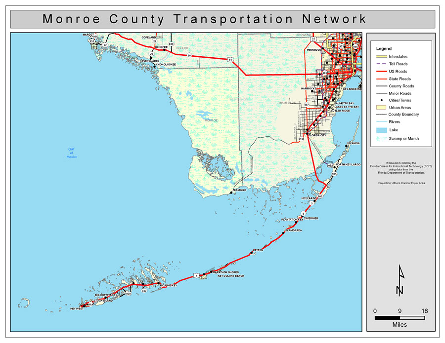
Description: This is a color road map of Monroe county, 2009. It shows the location of many roads including US-1, cities and towns, and inland water.
Place Names: Monroe, Flamingo, �Key Largo, �Key West, �Islamorada, �Layton, �Marathon, �Key Colony Beach, �Tavernier, �Islandia, �North Key Largo, �Plantation Key, �Marathon Shores, �Big Pine Key, �Stock Island, �Big Coppitt Key, �Gulf of Mexico
ISO Topic Categories: boundaries, �transportation, �inlandWaters, �oceans
Keywords: Monroe County Road Network- Color, transportation, �political, �physical, �kroads, �kroadscolor, county borders, roads, boundaries, �transportation, �inlandWaters, �oceans, Albers_Conical_Equal,2009
Source: Florida Center for Instructional Technology, Exploring Florida: Social Studies Resources �for Students and Teachers (Tampa, FL: University of South Florida, 2009)
Map Credit: Courtesy of the Florida Center for Instructional Technology, Author: Samer Slaiby |
|