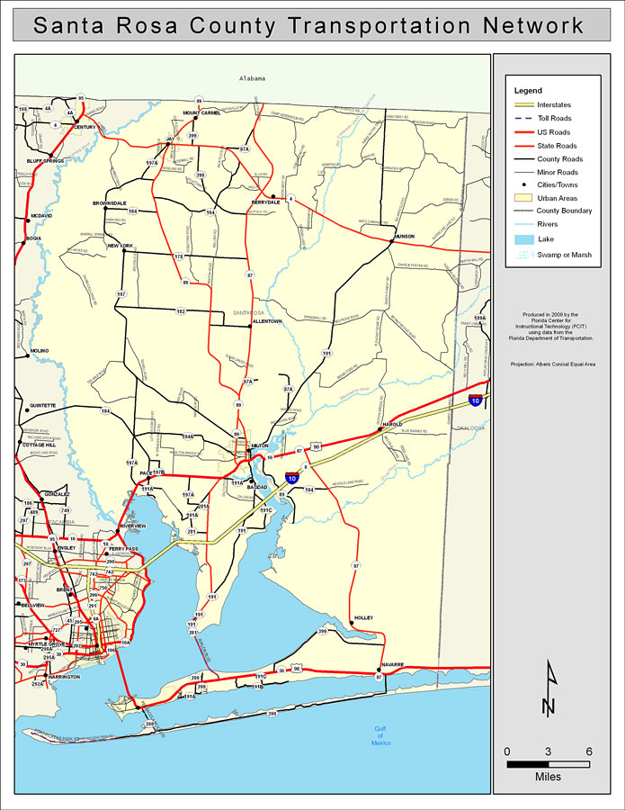
Description: This is a color road map of Santa Rosa county, 2009. It shows the location of many roads including US-90 and I-10, cities and towns, and inland water.
Place Names: Santa Rosa, Bagdad, �Munson, �Berrydale, �Allentown, �Milton, �Mount Carmel, �Brownsdale, �Holley, �New York, �Navarre, �Riverview, �Gulf of Mexico
ISO Topic Categories: boundaries, �transportation, �inlandWaters, �oceans
Keywords: Santa Rosa County Road Network- Color, transportation, �political, �physical, �kroads, �kroadscolor, county borders, roads, boundaries, �transportation, �inlandWaters, �oceans, Albers_Conical_Equal,2009
Source: Florida Center for Instructional Technology, Exploring Florida: Social Studies Resources �for Students and Teachers (Tampa, FL: University of South Florida, 2009)
Map Credit: Courtesy of the Florida Center for Instructional Technology, Author: Samer Slaiby |
|