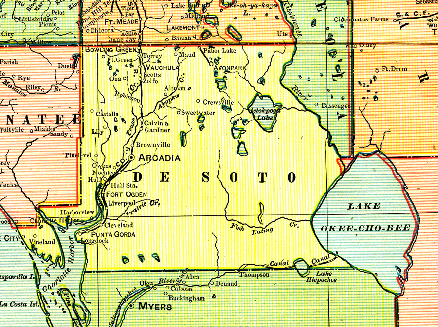
Description: A map of Desoto County showing county lines, the county seat (Arcadia), and railroads connecting the major cities current to 1902.
Place Names: Desoto, Arcadia, Fort Ogden, Pine Level, Wauchula, Avon Park, Bowling Green, Brownville, Hull, Nocatee, Punta Gorda, Grove City, Owens
ISO Topic Categories: transportation, inlandWaters, boundaries, oceans
Keywords: Desoto County, physical, political, transportation, physical features, county borders, railroads, transportation, inlandWaters, boundaries, oceans, Unknown,1902
Source: George F. Cram, (Chicago, IL: George F. Cram, 1902)
Map Credit: Courtesy the private collection of Roy Winkelman. |
|