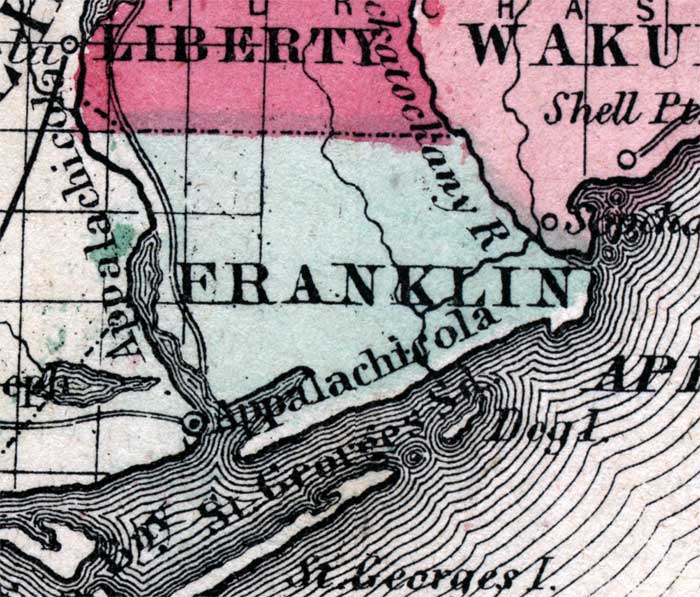
Description: Shows Franklin County and a few islands and sounds off shore.
Place Names: Franklin, Dog Island, Saint George Sound, St. Georges Island,Saint Vincent Island
ISO Topic Categories: boundaries, inlandWaters, transportation
Keywords: Franklin County, physical, political, historical, transportation, physical features, county borders, roads, boundaries, inlandWaters, transportation, 1860
Source: Johnson, A.J., Johnson's New Illustrated Family Atlas (New York, NY: Johnson and Browning, 1860) 40
Map Credit: Courtesy the private collection of Roy Winkelman. |
|