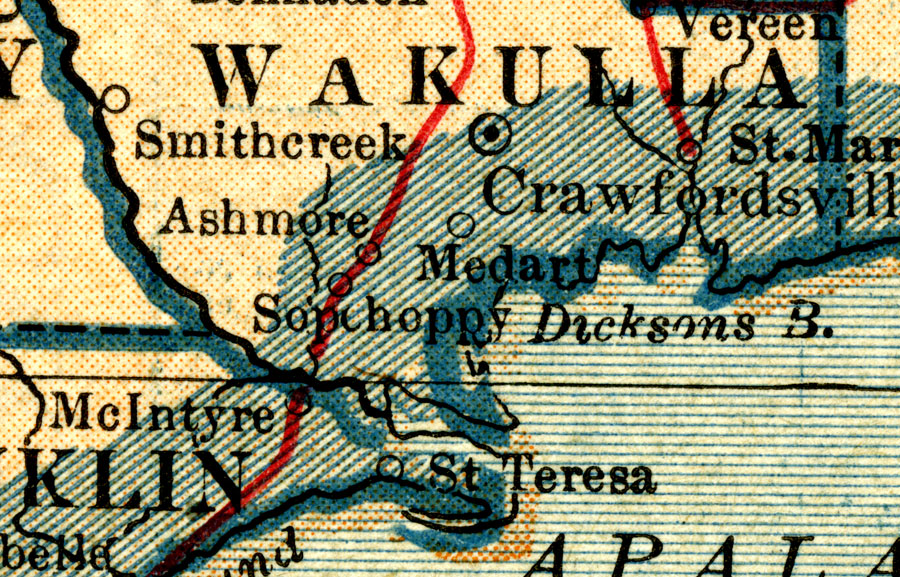
Description: A map of Wakulla County showing county lines, the county seat (Crawfordsville), railroads, and cities current to 1921.
Place Names: Wakulla, Crawfordville, Ashmore, Smith Creek, St. Marks, Medart, Sopchoppy
ISO Topic Categories: transportation, inlandWaters, boundaries, oceans
Keywords: Wakulla County, physical, political, transportation, physical features, county borders, railroads, transportation, inlandWaters, boundaries, oceans, Unknown,1921
Source: , World Atlas and Gazetteer (, : L. L. Poates Eng. Co., 1921)
Map Credit: Courtesy the private collection of Roy Winkelman. |
|