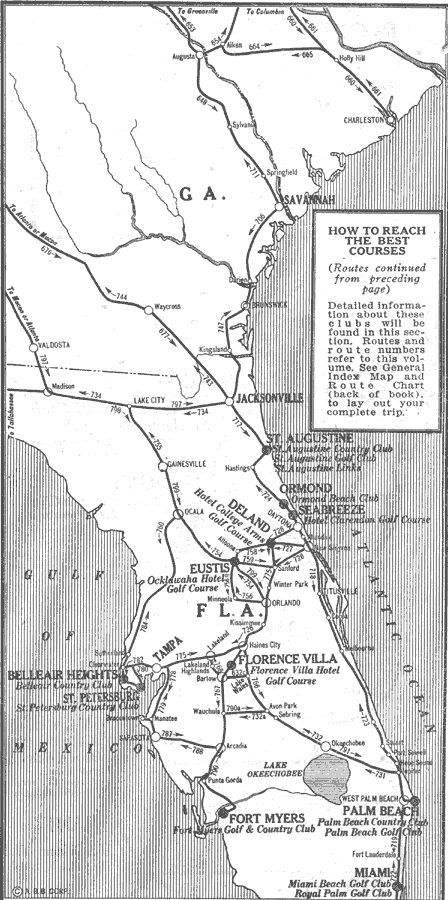
Description: Map showing golf courses in Florida in 1922 C.E. Shows major roads that lead to these golf courses.
Place Names: 1920-1949, Miami, Fort Myers, Saint Augustine, St Petersburg, Bellair Heights, Deland, Eustis, Ormond, Seabreeze, Florence Villa, Palm Beach
ISO Topic Categories: transportation, oceans, inlandWaters
Keywords: Winter Golf, physical, political, transportation, major political subdivisions, roads, transportation, oceans, inlandWaters, Unknown,1922
Source: The Automobile Blue Book Corporation, Middle Atlantic and Southeastern Automobile Blue Book 1922 (New York, NY: The Automobile Blue Book Corporation, 1921) 587
Map Credit: Courtesy the private collection of Roy Winkelman |
|