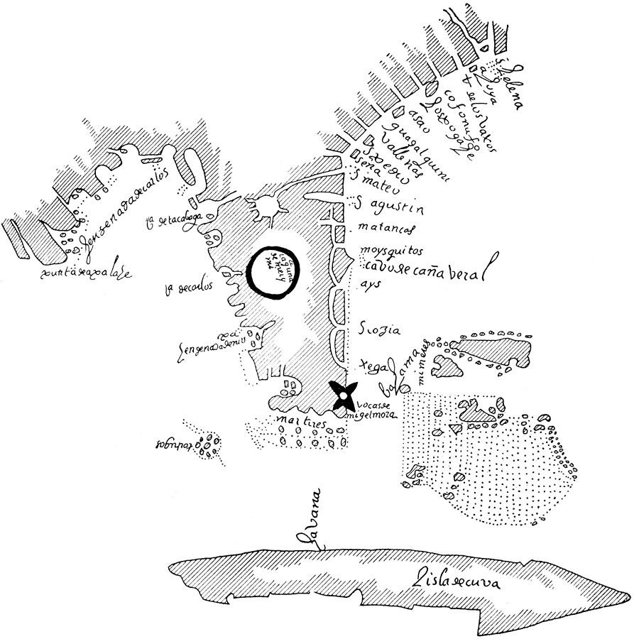
Description: Map shows Florida's coast and everything that was located on it up the year 1606
Place Names: Before 1700, Saint Augustine
ISO Topic Categories: society, oceans, inlandWaters
Keywords: Map of Florida , physical, historical, physical features, society, oceans, inlandWaters, Unknown,1606
Source: Woodbury Lowery, The Spanish Settlements within the Present Limits of the United States: Florida (New York , NY: G. P. Putnam's Son , 1911) 286
Map Credit: Courtesy the private collection of Roy Winkelman |
|