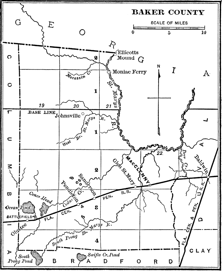
Description: Map shows Baker County in 1890. Shows all major cities, towns, roads, railroads, lakes and rivers. Shows the Georgia border and other Florida counties that surround Baker County.
Place Names: Baker, Olustee, Glen Saint Mary, Sanderson, MacClenny, Baldwin, Pendleton, Johnsville, Moniac Ferry
ISO Topic Categories: boundaries, inlandWaters, transportation
Keywords: Baker County, physical, political, transportation, historical, physical features, county borders, major political subdivisions, roads, railroads, boundaries, inlandWaters, transportation, Unknown,1890
Source: Charles Ledyard Norton, A Handbook of Florida (New York, NY: Longmans, Green, & Co., 1890) 6
Map Credit: Courtesy the private collection of Roy Winkelman |
|