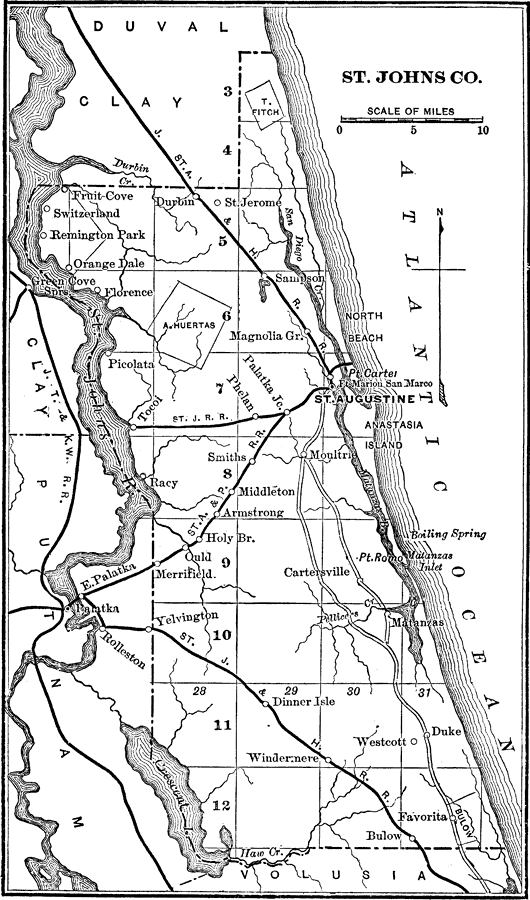
Description: A map of St. Johns County showing the county seat (St. Augustine), cities, towns, rivers, lakes, roads, and railroads present in 1890.
Place Names: St. Johns, St Augustine, Matanzas, Anastasia Island, Remington Park, Switzerland, Fruit Cove, Tocoi, Armstrong, Merrifield, Carterville
ISO Topic Categories: transportation, oceans, inlandWaters, boundaries
Keywords: St. Johns County, transportation, physical, political, physical features, county borders, roads, railroads, transportation, oceans, inlandWaters, boundaries, Unknown,1890
Source: Charles Ledyard Norton, A Handbook of Florida (New York, NY: Longmans, Green, & Co., 1890) 83
Map Credit: Courtesy the private collection of Roy Winkelman |
|