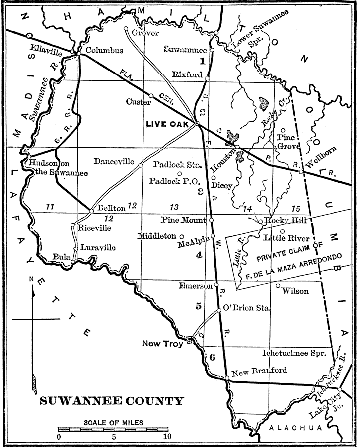
Description: A map of Suwannee County showing the county seat (Live Oak), cities, towns, rivers, lakes, roads, and railroads present in 1890.
Place Names: Suwannee, O'Brien, Live Oak, Suwannee, Columbus, Rixford, Custer, Danceville, Houston, Bellton, Pine Mountain, Little River, McAlpin, Middleton, Riceville, Branford, Rocky Hill
ISO Topic Categories: transportation, inlandWaters, boundaries
Keywords: Suwannee County, transportation, political, physical, physical features, county borders, roads, railroads, transportation, inlandWaters, boundaries, Unknown,1890
Source: Charles Ledyard Norton, A Handbook of Florida (New York, NY: Longmans, Green, & Co., 1890) 90
Map Credit: Courtesy the private collection of Roy Winkelman |
|